Reporting by Miles Blumhardt, Fort Collins Coloradoan
It’s official: Colorado saw its hottest temperatures and lowest snowpack on record in staggering fashion during the 2026 water year. Could it be super El Niño to the rescue?
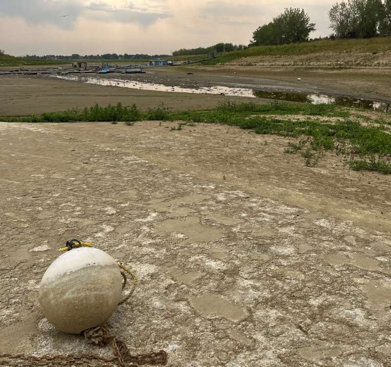
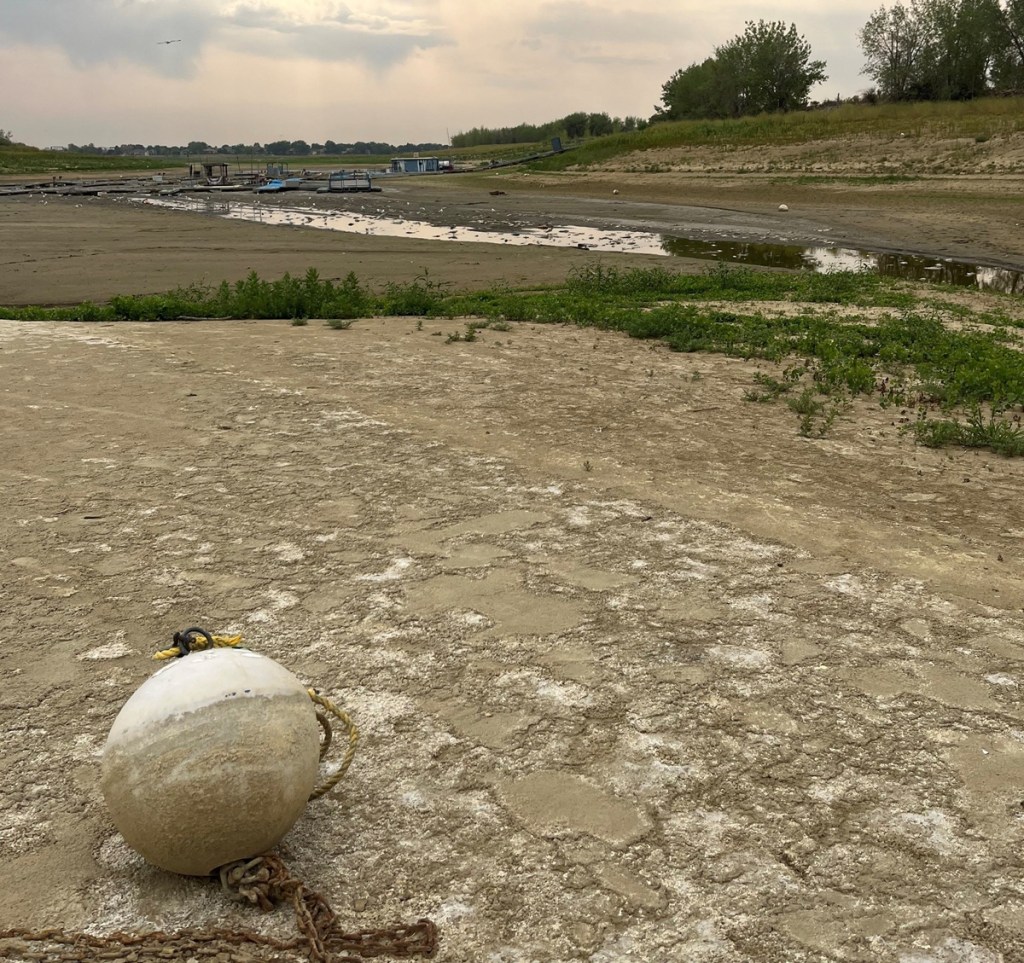
That combination led to persistent and extensive severe drought over much of the state, which led to wildfires, critically low water storage and extremely low river runoff, impacting Colorado economic staples such as agriculture, recreation and wildlife.
The water year is defined by climatologists and hydrologists as Oct. 1 through Sept. 30, which corresponds to when mountain snow typically starts in fall through when streamflow slows.
Will the super El Niño save Colorado from a repeat? It leans that way, but in a state where the only consistent aspect of the weather is its inconsistency, and wildfires and flash floods happen in the same month, we can only hope.
Here is how unprecedented this water year’s weather was, according to the Colorado Climate Center’s recently released 2026 water year-end report:
- Heat: Statewide temperatures were 4.5 degrees above the 1991-2020 normal and over 2 degrees warmer than our second-warmest water year on record in 1934.
- Snowpack: The record-low mountain snowpack resulted in a peak of 51% of average statewide, which was followed by rapid melting in the unprecedented March heat wave. That set up 35% of the state experiencing extreme to exceptional drought at the end of September 2026 compared to 14% at that same point in 2025.
- Reservoirs: Storage in Colorado’s reservoirs was more than 2 million acre-feet below average, the lowest levels since 2002. That amount would cover more than 1.5 million football fields including end zones to a depth of 1 foot.
Colorado’s heat was persistent and included all but small pockets of the state
Water year 2026 was the most unbalanced temperature year on record, with nearly 22 times more daily record highs and lows than cold records, according to the climate center.
Here are some highlights:
- Every month in the water year was above average and it was the warmest winter, spring and summer since weather data was collected in 1895.
- There were seven statewide heat waves, the most in any year dating to 1951, breaking the record of five in 2002, 2003 and 2022.
Fort Collins and surrounding area set heat, precipitation records
Fort Collins saw 54 days of 90 degrees or warmer during the water year compared to the 1991-2020 average of 30 and twice as many days of 60 degrees or warmer than any other winter in more than 125 years of records, resulting in the warmest year by far.
Denver saw 65 days of 90 degrees or warmer compared to 46 on average.
Fort Collins experienced its driest precipitation year since 2006 and 11th driest on record.
But Greeley fared worse, recording 6.78 inches of precipitation during the water year, breaking the record by just more than 1 inch while seeing half its normal amount.
Loveland recorded its latest ever first measurable snow and Fort Collins its fifth latest.
What caused the record hot, dry year and will a super El Niño save us?
Allie Mazurek, Colorado Climate Center engagement climatologist, said average temperatures have been climbing in part due to climate change but that this water year’s record heat and lack of snowpack was the result of another factor that played a major role.
“We had an outlandish and persistent ridge pattern over the western U.S. that prevented us from storms and kept us really warm, especially in winter,” Mazurek told the Coloradoan. “Why the pattern stayed for so long we don’t exactly know.”
The National Oceanic and Atmospheric Administration is forecasting an 83% or greater chance of a strong to very strong El Niño through March.
Mazurek said historical data shows El Niño years tend to be wetter than usual in Colorado, including snow, but that the relationship mostly corresponds to the southern part of the state.
Four similar strong El Niño winters produced between a few inches to nearly 40 inches more seasonal snow than the average of 51.4 inches in Fort Collins, according to previous Coloradoan reporting.
Here they are as reported at the city’s official weather station on the main CSU campus, according to the Colorado Climate Center:
- 2015-16: 72.8 inches
- 1997-98: 55.3 inches
- 1987-88: 89.5 inches
- 1982-83: 68 inches
The National Weather Service Climate Prediction Center’s seasonal outlook published Oct. 15 shows a mixed bag for Colorado snow this winter.
For November, December and January, the map shows the state west of a line from the southwest corner to northeast corner is predicted for equal chances of below-average, near-average or above-average precipitation, while east of that line leans toward above-average precipitation.
The December, January and February map shows the line of above-average precipitation expanding west save for the northwest corner, which remains equal chances.
Both maps show the entire state has an equal chance of below-average, near-average or above-average temperatures those months.
“El Niño is not a guarantee for more precipitation but it can’t get much worse than last year,” Mazurek said.
This article originally appeared on Fort Collins Coloradoan.
Related: What caused the Aspen Acres Fire? Colorado releases investigation